


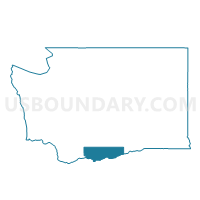
High Prairie Voting District, Klickitat County, Washington
About
Outline

Summary
| Unique Area Identifier | 687403 |
| Name | High Prairie Voting District |
| County | Klickitat County |
| State | Washington |
| Area (square miles) | 20.04 |
| Land Area (square miles) | 20.04 |
| Water Area (square miles) | 0.00 |
| % of Land Area | 100.00 |
| % of Water Area | 0.00 |
| Latitude of the Internal Point | 45.72006880 |
| Longtitude of the Internal Point | -121.10585500 |
Maps


Graphs
Select a template below for downloading or customizing gragh for High Prairie Voting District, Klickitat County, Washington


Neighbors
Neighoring Voting District (by Name) Neighboring Voting District on the Map
- Centerville Voting District, Klickitat County, WA
- East Lyle Voting District, Klickitat County, WA
- North Dalles Voting District, Klickitat County, WA
- River Voting District, Klickitat County, WA